

GEOGRAPHICAL INFORMATION SYSTEMS
DEC’s GIS team is trained and knowledgeable in all industries and throughout the public works sector. We provide practical solutions regardless of the scale. Whether it’s analyzing a single parcel, a state, or the nation, the diverse experience and backgrounds of our GIS consulting team allows us to achieve the best results with our GIS services.
Services
-
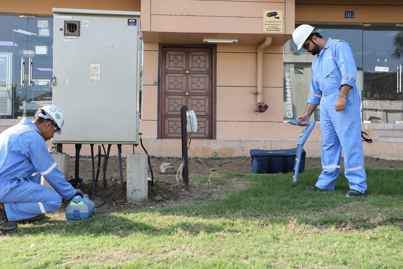
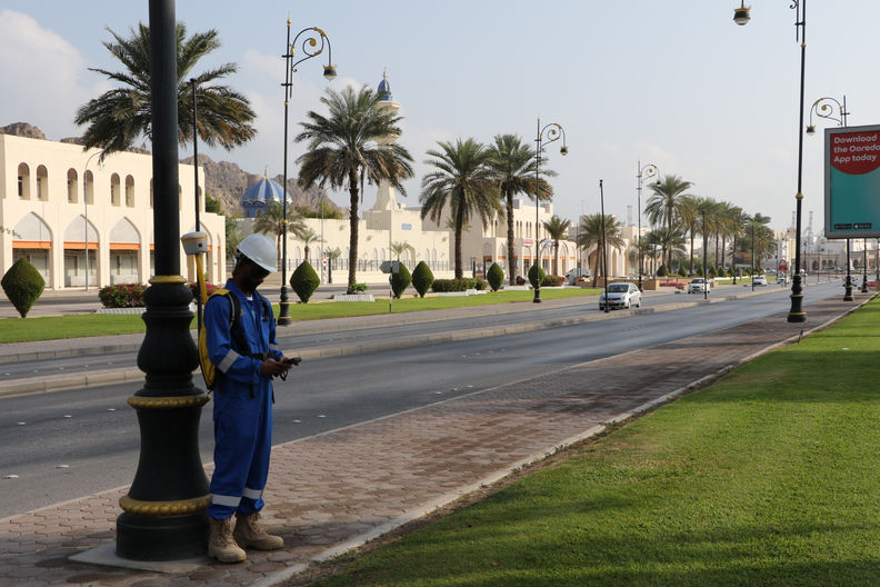
Field Survey & Data Collection
-
ArcGIS Server Applications
-
Cadastral / Land Management
-
Geo-Database Development & Management
-
Infrastructure Management
-
Land Use & Zoning
-
Mobile GIS Solutions
-
Base Mapping
-
Real Estate & Business Mapping
-
Routing/ Network Analysis
-
Spatial Analysis & Modeling
-
Statistical Analysis
-
Utility Management
-
Web-based Services
-
Site selection and prioritization

-
Site suitability modeling
-
Geospatial data acquisition and creation
-
Cartographic services
-
3D visualization
-
Custom application development
-
GIS integration and consulting
-
Geodatabase design and management
DATA COLLECTION
DATA ANALYSIS
DATA PRESENTATION
PROJECTS GALLERY
CLIENTS


CONTACT
Inquiries
For any inquiries, questions or commendations, please call: +968-24499466 or fill out the following form
Head Office
Employment
To apply for a job with Dawood Engineering Consultancy, please send a cover letter together with your C.V. to: info@dec.om


